 https://uvlt.org/wp-content/uploads/2021/02/Perennial-Stream.jpeg
1024
768
Lorie Hood
http://uvlt.org/wp-content/uploads/2021/09/uvlt-logo-stacked.png
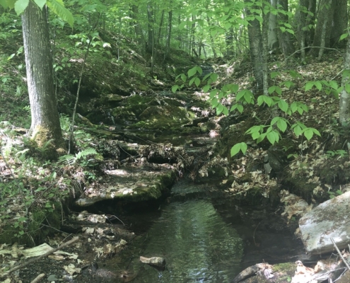
Lorie Hood2021-04-14 14:56:092021-11-08 11:55:19Woody Adams Conservation Forest Fundraising Complete!
https://uvlt.org/wp-content/uploads/2021/02/Perennial-Stream.jpeg
1024
768
Lorie Hood
http://uvlt.org/wp-content/uploads/2021/09/uvlt-logo-stacked.png
Lorie Hood2021-04-14 14:56:092021-11-08 11:55:19Woody Adams Conservation Forest Fundraising Complete! https://uvlt.org/wp-content/uploads/2021/02/view-across-Adams-from-BR-Trail.jpeg
768
1024
Lorie Hood
http://uvlt.org/wp-content/uploads/2021/09/uvlt-logo-stacked.png
Lorie Hood2021-02-01 13:19:162021-02-01 13:24:29Protecting the Woody Adams Conservation Forest and the Norwich Town Forest on Gile Ridge
https://uvlt.org/wp-content/uploads/2021/02/view-across-Adams-from-BR-Trail.jpeg
768
1024
Lorie Hood
http://uvlt.org/wp-content/uploads/2021/09/uvlt-logo-stacked.png
Lorie Hood2021-02-01 13:19:162021-02-01 13:24:29Protecting the Woody Adams Conservation Forest and the Norwich Town Forest on Gile Ridge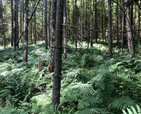 https://uvlt.org/wp-content/uploads/2021/01/IMG_0030-scaled.jpeg
1920
2560
Lorie Hood
http://uvlt.org/wp-content/uploads/2021/09/uvlt-logo-stacked.png
Lorie Hood2021-01-13 18:02:132021-01-13 18:18:48Miner Grant Easement Grows to 300 Acres
https://uvlt.org/wp-content/uploads/2021/01/IMG_0030-scaled.jpeg
1920
2560
Lorie Hood
http://uvlt.org/wp-content/uploads/2021/09/uvlt-logo-stacked.png
Lorie Hood2021-01-13 18:02:132021-01-13 18:18:48Miner Grant Easement Grows to 300 Acres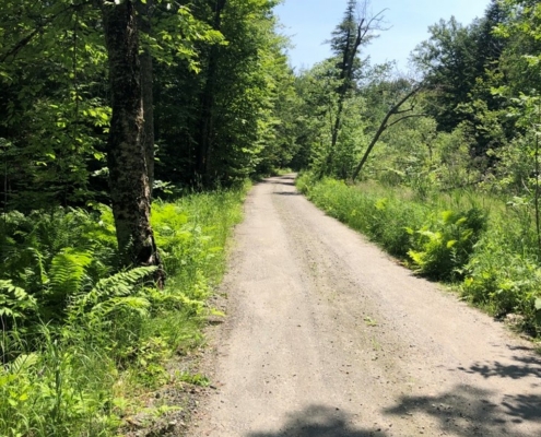 https://uvlt.org/wp-content/uploads/2020/12/Frontage-on-Wild-Apple.jpg
975
731
Lorie Hood
http://uvlt.org/wp-content/uploads/2021/09/uvlt-logo-stacked.png
Lorie Hood2020-12-16 13:14:552021-05-05 17:31:01Old Town Farm Conserved in Pomfret
https://uvlt.org/wp-content/uploads/2020/12/Frontage-on-Wild-Apple.jpg
975
731
Lorie Hood
http://uvlt.org/wp-content/uploads/2021/09/uvlt-logo-stacked.png
Lorie Hood2020-12-16 13:14:552021-05-05 17:31:01Old Town Farm Conserved in Pomfret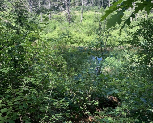 https://uvlt.org/wp-content/uploads/2020/09/Crossroads-Addition_PHOTO-005.jpg
1008
756
Lorie Hood
http://uvlt.org/wp-content/uploads/2021/09/uvlt-logo-stacked.png
Lorie Hood2020-09-16 16:47:252020-09-16 16:48:05Protected Wetlands and Public Access Expanded in Lyme
https://uvlt.org/wp-content/uploads/2020/09/Crossroads-Addition_PHOTO-005.jpg
1008
756
Lorie Hood
http://uvlt.org/wp-content/uploads/2021/09/uvlt-logo-stacked.png
Lorie Hood2020-09-16 16:47:252020-09-16 16:48:05Protected Wetlands and Public Access Expanded in Lyme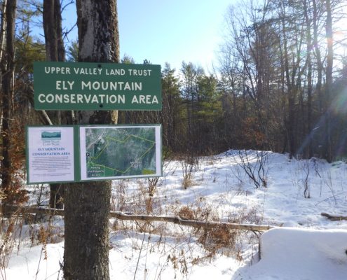 https://uvlt.org/wp-content/uploads/2020/06/P1050785.jpg
768
1152
Lorie Hood
http://uvlt.org/wp-content/uploads/2021/09/uvlt-logo-stacked.png
Lorie Hood2020-06-11 12:42:412020-06-11 15:39:42More of the Mountain
https://uvlt.org/wp-content/uploads/2020/06/P1050785.jpg
768
1152
Lorie Hood
http://uvlt.org/wp-content/uploads/2021/09/uvlt-logo-stacked.png
Lorie Hood2020-06-11 12:42:412020-06-11 15:39:42More of the Mountain https://uvlt.org/wp-content/uploads/2020/05/Photo-2b.jpg
833
1600
Lorie Hood
http://uvlt.org/wp-content/uploads/2021/09/uvlt-logo-stacked.png
Lorie Hood2020-05-20 16:38:502020-05-20 16:38:50Tunbridge: A Place for Friends and Family
https://uvlt.org/wp-content/uploads/2020/05/Photo-2b.jpg
833
1600
Lorie Hood
http://uvlt.org/wp-content/uploads/2021/09/uvlt-logo-stacked.png
Lorie Hood2020-05-20 16:38:502020-05-20 16:38:50Tunbridge: A Place for Friends and Family https://uvlt.org/wp-content/uploads/2020/01/DSCN00100011-scaled.jpg
1261
2560
Jeanie McIntyre
http://uvlt.org/wp-content/uploads/2021/09/uvlt-logo-stacked.png
Jeanie McIntyre2020-01-22 17:07:192020-01-23 10:40:21Brackett Brook Farm: A Hill Farm Looks Forward
https://uvlt.org/wp-content/uploads/2020/01/DSCN00100011-scaled.jpg
1261
2560
Jeanie McIntyre
http://uvlt.org/wp-content/uploads/2021/09/uvlt-logo-stacked.png
Jeanie McIntyre2020-01-22 17:07:192020-01-23 10:40:21Brackett Brook Farm: A Hill Farm Looks Forward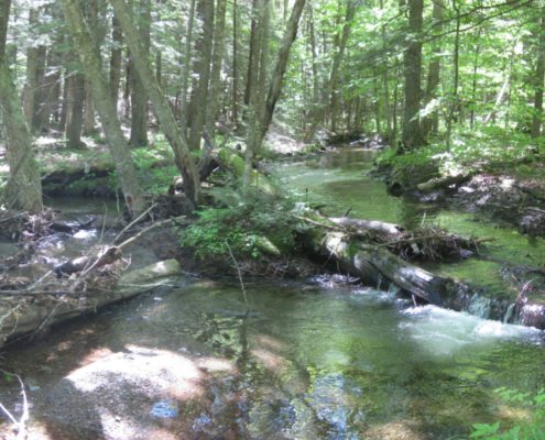 https://uvlt.org/wp-content/uploads/2019/12/IMG_02540255-scaled.jpg
1119
2560
Jeanie McIntyre
http://uvlt.org/wp-content/uploads/2021/09/uvlt-logo-stacked.png
Jeanie McIntyre2019-12-24 11:01:272019-12-30 14:06:57Tunis District Conservation Area Complete
https://uvlt.org/wp-content/uploads/2019/12/IMG_02540255-scaled.jpg
1119
2560
Jeanie McIntyre
http://uvlt.org/wp-content/uploads/2021/09/uvlt-logo-stacked.png
Jeanie McIntyre2019-12-24 11:01:272019-12-30 14:06:57Tunis District Conservation Area Complete https://uvlt.org/wp-content/uploads/2019/12/Closing-Photo-1-rotated-e1576880337357.jpg
1008
756
Jeanie McIntyre
http://uvlt.org/wp-content/uploads/2021/09/uvlt-logo-stacked.png
Jeanie McIntyre2019-12-20 17:27:412019-12-20 17:27:41Risley Farmhouse – Continuing a Legacy of Land Conservation
https://uvlt.org/wp-content/uploads/2019/12/Closing-Photo-1-rotated-e1576880337357.jpg
1008
756
Jeanie McIntyre
http://uvlt.org/wp-content/uploads/2021/09/uvlt-logo-stacked.png
Jeanie McIntyre2019-12-20 17:27:412019-12-20 17:27:41Risley Farmhouse – Continuing a Legacy of Land Conservation